Case Studies

See GeoRiver in action

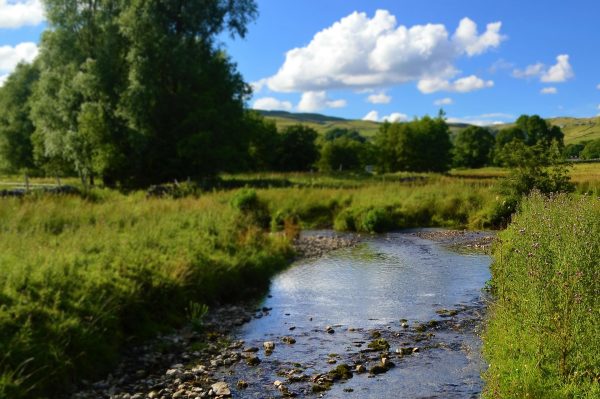
Rhondda Valley Project

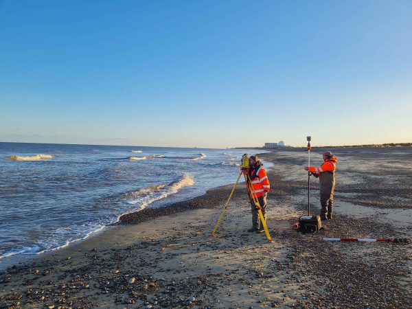
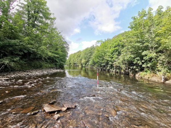
Storm Geomatics delivered the data to the client in a variety of modelling formats including Flood Modeller, Tuflow and HecRas as requested. In addition, Storm provided Arup with a GeoRiver® licence and the complete GeoRiver® model from which all survey deliverables are derived.

Pipeline Crossing Surveys

Georiver® is not limited to data processing and was also used to create data exports including XYZ data, CAD drawings and georeferenced photographs with bearings to meet client needs and specification.

Minsmere and Yox Model Survey to Assess Flood Risk

So intuitive is GeoRiver®, the task of processing cross section survey data was very efficient from the drawing of cross sections (including structures), to placing of photos with bearings and being able to export different data sets so that they can be read by the latest flood modelling software and also pass EACSD validation.

Storm Surveyors Excel in Sub Zero Temperatures

The survey deliverables were processed using GeoRiver® software and exported to Flood Modeller Pro at our client’s request. In addition, the team supplied the data in the data rich EACSD format.

Flood risk assessment commissioned

Using GeoRiver® Storm Geomatics have been able to provide complete model files including structure geometry, a step that greatly reduces the workload of the modeller.