Fast River Model Creation
High end river model data preparation through flexibility, simplicity and evolving software development.
Experience, Expertise and Insight
Built by surveyors and engineers, for surveyors and engineers
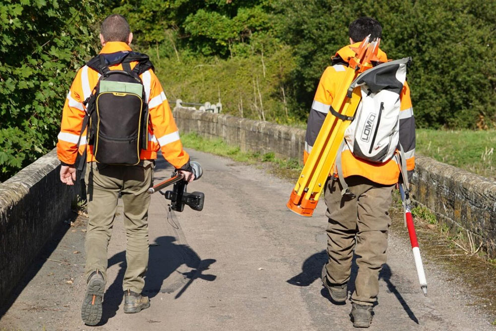
GeoRiver has been developed in-house by surveying & engineering experts who use it on a daily basis themselves. Our experience, expertise and unique insight means we know what is needed to produce efficient, cost-effective, intuitive and highly-valuable outputs.
Speed and Efficiency
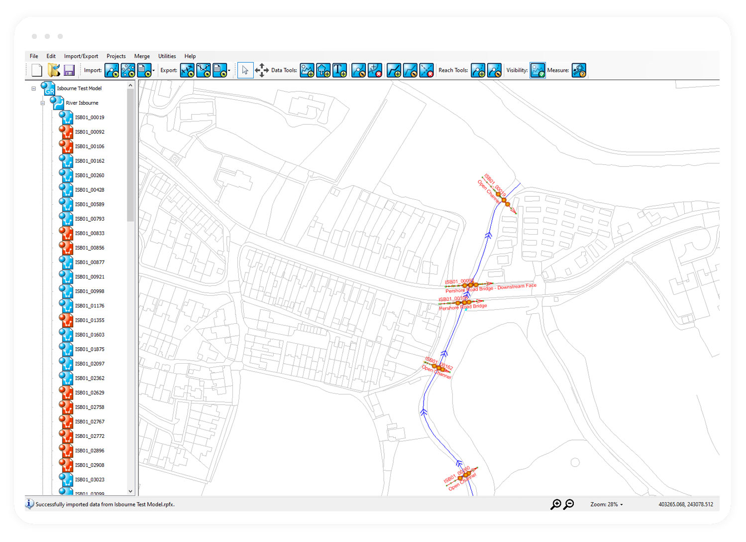
Auto Routines for Quick Model Preparation
GeoRiver reduces processing time of raw survey data, and exports quickly and easily to all industry-standard formats. It closes the gap between survey deliverables and working river models. Automation removes the need for mannual input thus reducing errors.
DELIVERABILITY
Industry-leading
- Low Cost
- High Productivity
- Flexible Data Exchange Formats
- Background Mapping
- Structure Exports to Modelling Software
- High Quality Industry Outputs
- Flexible 'Cloud' Licensing
- Easy to Learn and Use
Who is it for?
-
Easy to Learn and Use
The cloud licenced, bespoke software is tailored specifically for the purpose of processing river channel survey data, making it simple to navigate and learn.
-
Flexible Data Exchange Formats
Import and export internationally rcognised flood modelling software files to make intergration and/or updating of data simple and intuitive.
-
Developed by Survey Experts
Developed by those that use it daily ensures streamlining and automation whilst remaning fit for purpose.

-
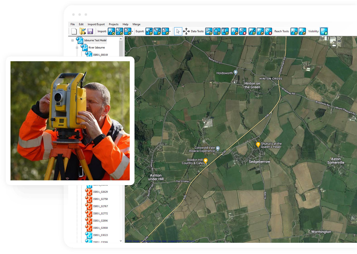
Background Mapping - Review Data
Use the GeoRiver® model file to review all of the provided data in a single file where cross sections, long sections, plan view and photos can be viewed at the same time in place and order.
-
Quick Model Preparation
Streamline your model build by reviewing, amending and exporting the exact files your require and when. Intergarate your own prefered mannings 'n' values and export accordinghly.
-
High Quality Industry Outputs
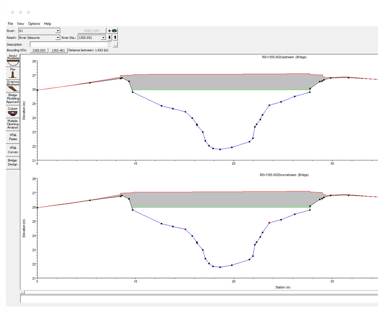
Receive the complete data set with originally surveyed positions visible. Enhance the quality of the data by removing manual tasks like inputing structure information.